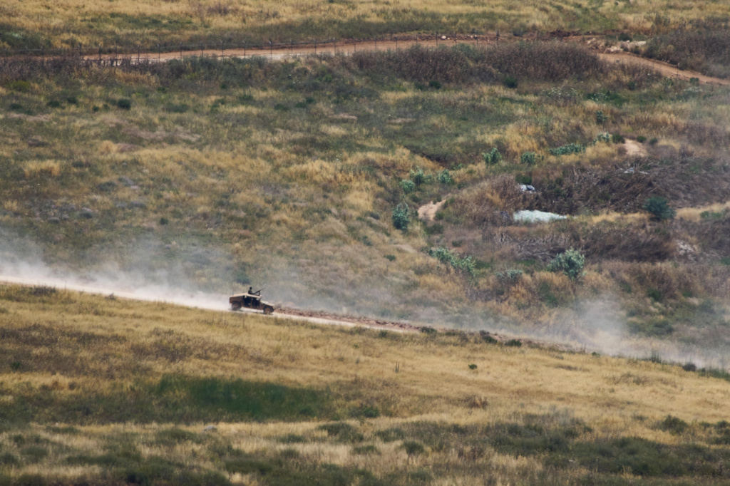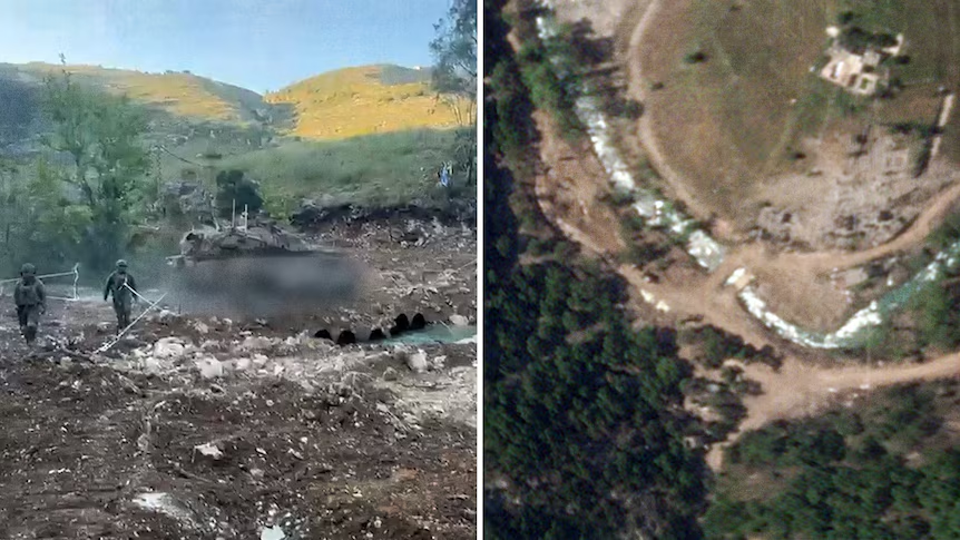
The Israeli military released a video on May 31 claiming to show its first tank crossing the Litani River in southern Lebanon. The footage depicted an IDF tank traversing the waterway at a location identified as south of the town of Zawtar al-Sharqiyah. This event marks a reported incursion across the significant geographical boundary in Lebanon. On May 31, the Israeli military posted this video, which quickly drew attention for its implications regarding military operations in the region. The claim by the Israeli military that this was its first tank to cross the Litani River in southern Lebanon noted the strategic significance of the operation, particularly given the river's historical role as a de-facto northern boundary for Israeli military presence in past conflicts.
Geolocation Details Emerge
ABC NEWS Verify undertook a thorough investigation to confirm the details presented in the Israeli military's video. Through a careful process, ABC NEWS Verify used a combination of commercial satellite imagery, detailed elevation data, and local testimony to find the exact crossing point. This multi-faceted approach allowed for precise identification and verification of the location, providing a full understanding of the terrain and infrastructure. Satellite imagery of the crossing point reveals the presence of twin bridges. This observation was key, as it contrasts with older satellite images, which showed only a single bridge at the same location. The presence of twin bridges, a new development compared to historical satellite data, suggests recent modifications or additions to the infrastructure at this strategic river crossing, potentially to facilitate increased traffic or military movements.
Further corroboration came from local sources. A local chalet owner confirmed that the Israeli military video was filmed at the rear of their property, providing corroborating photographs that matched the footage. This direct testimony and photographic evidence lent significant weight to the geolocation findings, grounding the satellite analysis in on-the-ground reality. The identified crossing point is situated approximately five kilometers from the ancient Beaufort Castle, a historical landmark in southern Lebanon. Commercial satellite imagery further confirms the precise location of the twin bridge crossing point, reinforcing the findings from other data sources and solidifying the accuracy of ABC NEWS Verify's assessment. The use of multiple independent verification methods shows the rigor applied to confirming the Israeli military's claim.
Broader Military Operations
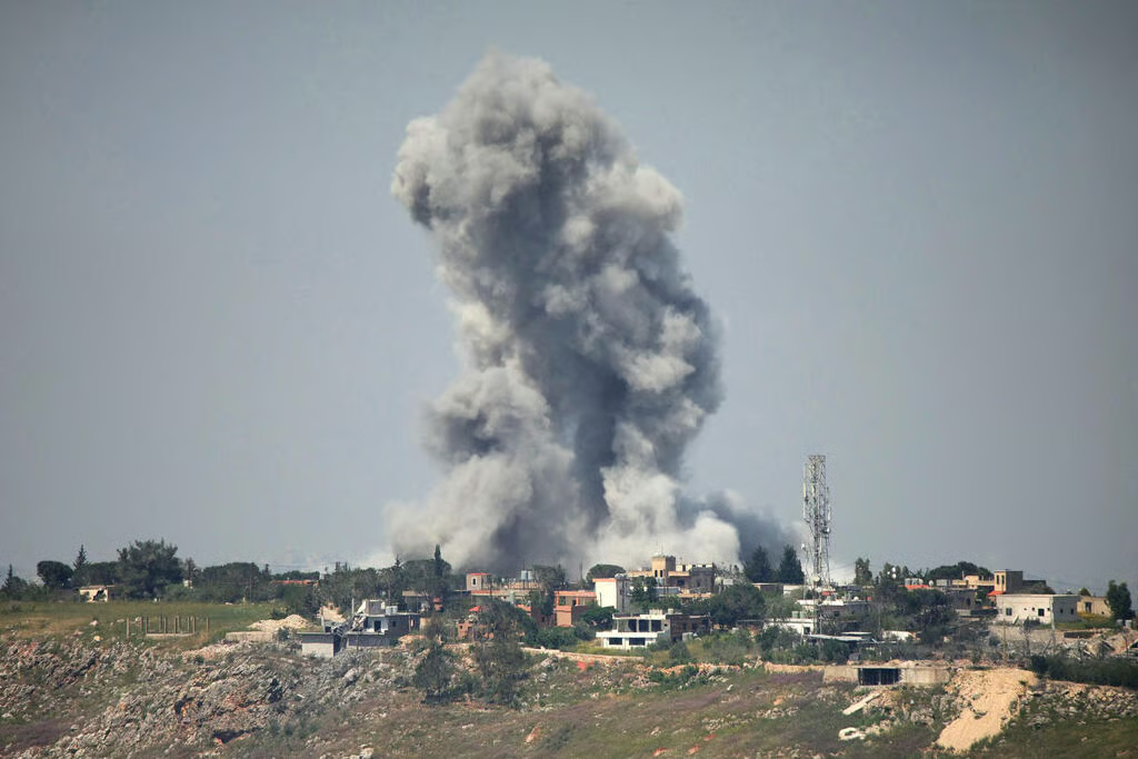
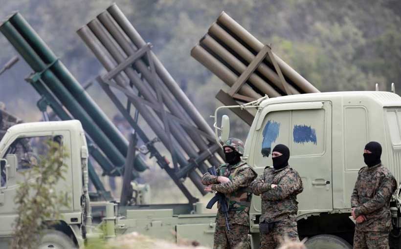
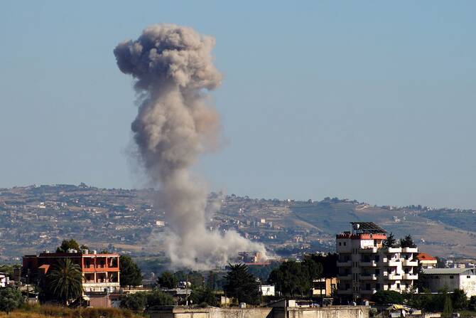
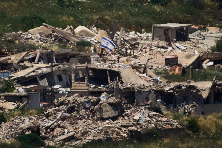
The military activities in the area extend beyond the river crossing. A video released by Hezbollah depicts the area around the bridges, with footage captured by a drone that subsequently strikes what appears to be an armored vehicle. This footage from Hezbollah provides an alternative perspective on the ongoing conflict and the types of engagements occurring near the Litani River, illustrating the multi-faceted nature of the military operations. Publicly available satellite images also indicate military action in the nearby town of Zawtar al-Sharqiyah, suggesting a broader operational scope that extends beyond the immediate river crossing. Further analysis of before-and-after imagery shows the destruction of buildings within Zawtar al-Sharqiyah over recent weeks, showing the intensity of the military operations in the area and the severe impact on civilian infrastructure and livelihoods. The visible damage points to sustained engagements and the significant use of force in the town.
Earlier in the same week, videos posted by the IDF displayed soldiers seizing the ruins of the nearly 900-year-old Beaufort Castle. This historic fortification, known for its strategic vantage point overlooking the surrounding terrain, became a focal point of Israeli military operations. Prior to conducting strikes in the broader area, Israel's military had issued orders for residents to evacuate Nabatiyeh, a major population center. These evacuation orders suggest a planned and extensive military campaign in the region, aimed at minimizing civilian casualties ahead of anticipated engagements, though the impact on displaced populations remains a concern. Beaufort Castle itself is situated in the south-east sector of Nabatiyeh, which is widely recognized as a major Hezbollah stronghold, making its seizure a significant development in the ongoing conflict and a symbolic victory for Israeli forces. The strategic importance of controlling such a historic and elevated position cannot be overstated in military terms.
Regional Impact and Reactions
ABC NEWS Verify identified the exact crossing point through a combination of commercial satellite imagery, elevation data, and local testimony, providing undeniable clarity on the location of the Israeli tank's incursion. This crossing represents what analysts describe as the deepest incursion by Israel into Lebanon in a quarter of a century. The depth of this military advance is a notable escalation, marking a significant shift in the operational tactics employed by Israeli forces in southern Lebanon and potentially signaling a more aggressive posture. Commercial satellite imagery further confirms the precise location of the twin bridge crossing point, adding an additional layer of verification to the findings and leaving little room for doubt regarding the site of the incursion. The strategic importance of Beaufort Castle, a site recently seized by Israeli forces, is magnified by its location in the south-east sector of Nabatiyeh, a major Hezbollah stronghold, making its control a key objective in the wider military campaign.
The human cost of these military operations has been substantial. The Lebanese Ministry of Health has reported that 3,468 people have been killed in the country by the IDF since March 2, with an additional 10,577 wounded during the same period. These figures, released by the Lebanese Ministry of Health, paint a stark picture of the widespread impact of the conflict on the civilian population, extending beyond direct combatants. The scale of the reported casualties shows the severe human impact of the ongoing military operations in southern Lebanon, noting the profound consequences for residents caught in the crossfire. The continued military engagements, including the Litani River crossing and the seizure of Beaufort Castle, contribute to a complex and volatile security situation in the border region, intensifying concerns among international observers about regional stability.