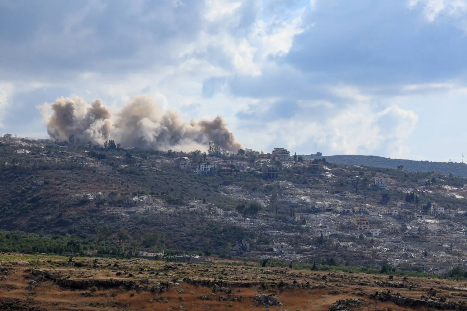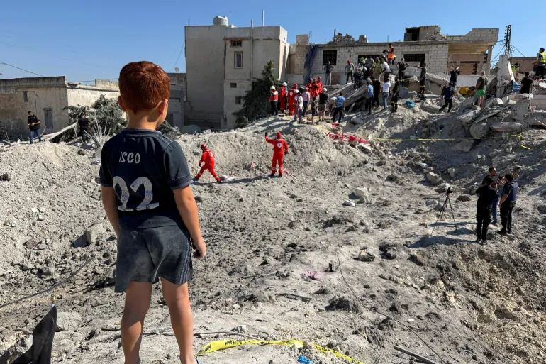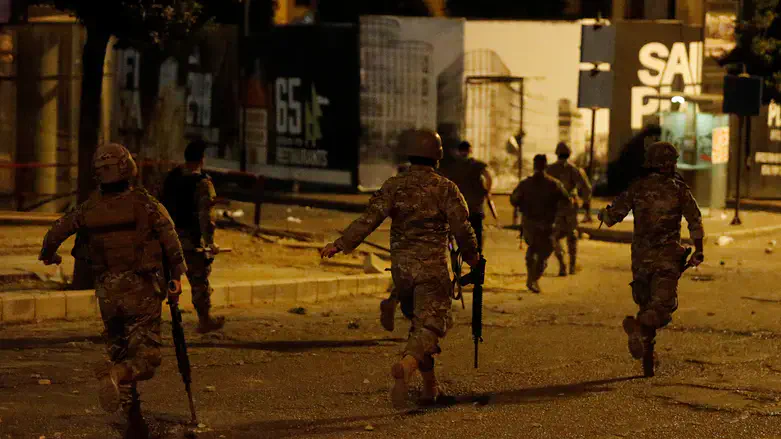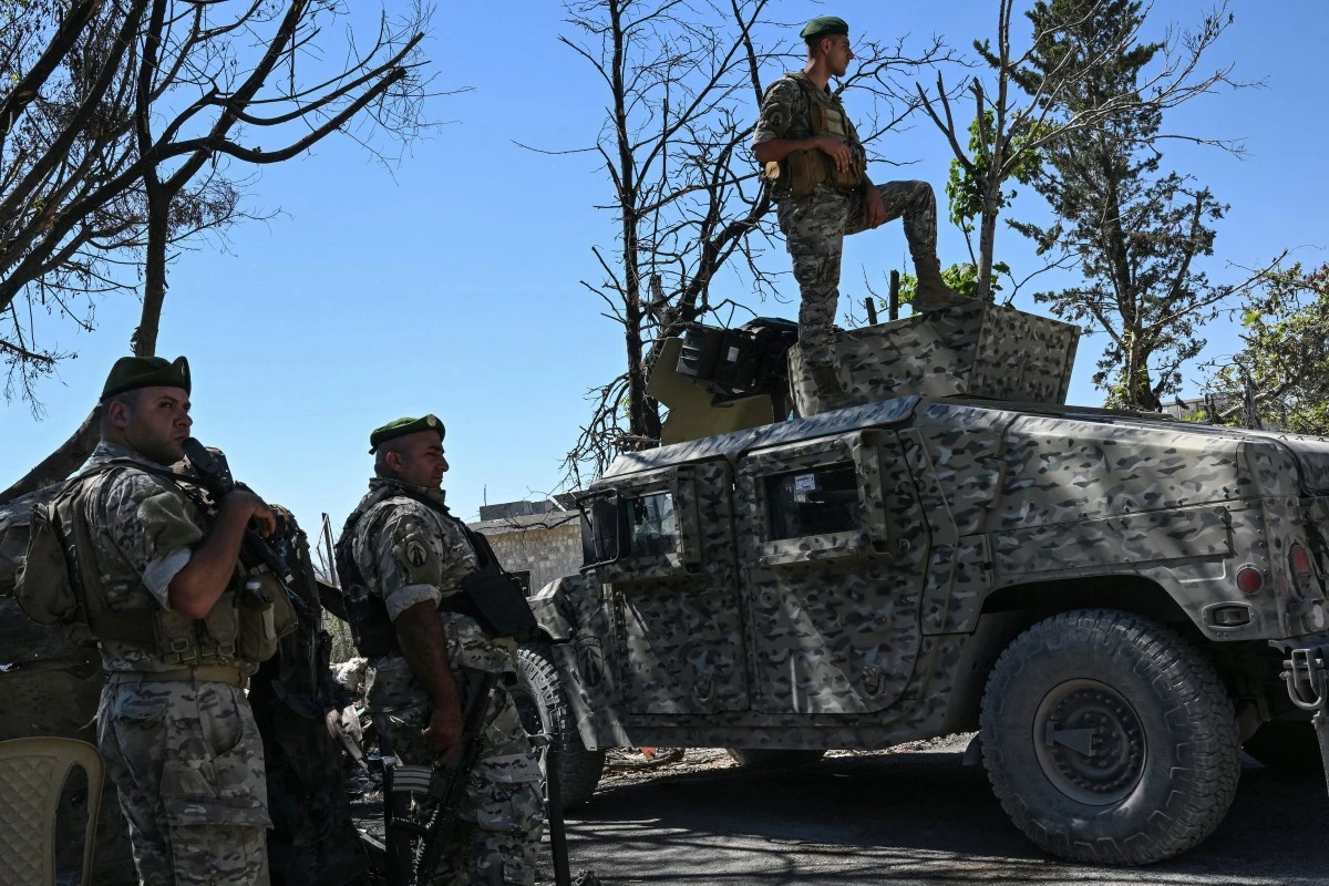
Israeli Defense Minister Israel Katz has cited an area of roughly 700 square kilometers under Israeli occupation in Lebanon. Military operations continued on 24 October 2026, when an Israeli drone strike hit a roundabout in Kfar Tebnit. Israeli troops simultaneously carried out demolitions in Kfar Tebnit and Mansouri. The events of 24 October 2026, involving the strike in Kfar Tebnit and the demolition operations in both Kfar Tebnit and Mansouri, reflect the ongoing tactical maneuvers currently defining the regional security environment.
Strategic Depth and Geography
Riad Kahwaji, a defense and security expert, characterizes the current Israeli approach as treating Lebanon and the Golan Heights as a single, integrated front that spans from Mount Hermon to the Mediterranean coast. This conceptual framework, as described by Riad Kahwaji, integrates the northern border terrain into a unified strategic theater. According to Riad Kahwaji, "From its perspective, Israel is establishing a security belt along its northern border." He notes that the geographical scope of these operations has shifted significantly, explaining that "the geographical scope has effectively expanded beyond the area south of the Litani, particularly from the direction of Metula, where the river is only about seven kilometers away, compared with roughly 30 kilometers between Naqoura and the Litani."
Military infrastructure supporting this front currently consists of approximately 20 positions within southern Lebanon. These 20 positions form the backbone of the current operational presence. Riad Kahwaji observes that "each position could accommodate a company-sized force, while drones operate continuously farther behind these positions to monitor movements." These installations are designed to maintain a persistent presence across the territory, with the logistical capacity to hold these units in place. The deployment of company-sized forces at each of these 20 sites allows for a consistent monitoring capability, supported by the continuous drone activity described by Riad Kahwaji.
Retired Brigadier General Fadi Daoud suggests that the operational reach of these forces may extend further north. Fadi Daoud states, "What is clear in southern Lebanon is that the expansion could reach the Awali River. Even if it does not, forces will remain positioned on the heights overlooking the river." The potential reach toward the Awali River represents a significant shift in the operational planning noted by Fadi Daoud. He adds that the strategic objective for these locations involves long-term surveillance and command, noting, "Israel will establish positions there to control the Bekaa." By securing these elevated positions, the military aims to maintain command over the Bekaa region, ensuring that the surveillance capabilities described by Fadi Daoud are effectively integrated into the broader security architecture. This long-term positioning is intended to sustain the control mechanisms currently being implemented across the occupied areas.