Israeli Defense Minister Israel Katz has identified an area of roughly 700 square kilometers as the zone for operations in southern Lebanon. This designated territory represents a significant strategic focus for the state, with Israeli Defense Minister Israel Katz having cited an area of roughly 700 square kilometers regarding operations in southern Lebanon. Defense and security expert Riad Kahwaji noted that Israel currently treats Lebanon and the Golan Heights as a single front extending from Mount Hermon to the Mediterranean coast at Naqoura and Bayada. Elaborating on this unified theater of operations, defense and security expert Riad Kahwaji stated that Israel views Lebanon and the Golan Heights as a single front stretching from Mount Hermon to the Mediterranean coast at Naqoura and Bayada.
"From its perspective, Israel is establishing a security belt along its northern border," Riad Kahwaji stated. He added that the military approach does not demand a constant physical footprint across the territory. "It does not require an extensive military presence throughout the entire belt. Instead, it relies on specific military positions, continuous surveillance through drones and firepower, and the ability to target any movement or dispatch a patrol," said Riad Kahwaji. This strategy emphasizes flexibility, ensuring that the Israeli military can maintain oversight of the 700 square kilometer area without needing to occupy every inch of the rugged southern Lebanese terrain.
Defining the Security Belt
Israel utilizes approximately 20 military positions in southern Lebanon to maintain control over the designated operational zone. Each of these specific military sites is capable of accommodating a company-sized force, providing the necessary infrastructure to support localized operations. By stationing these forces at strategic intervals, the military maintains a presence that is both sustainable and capable of rapid response.
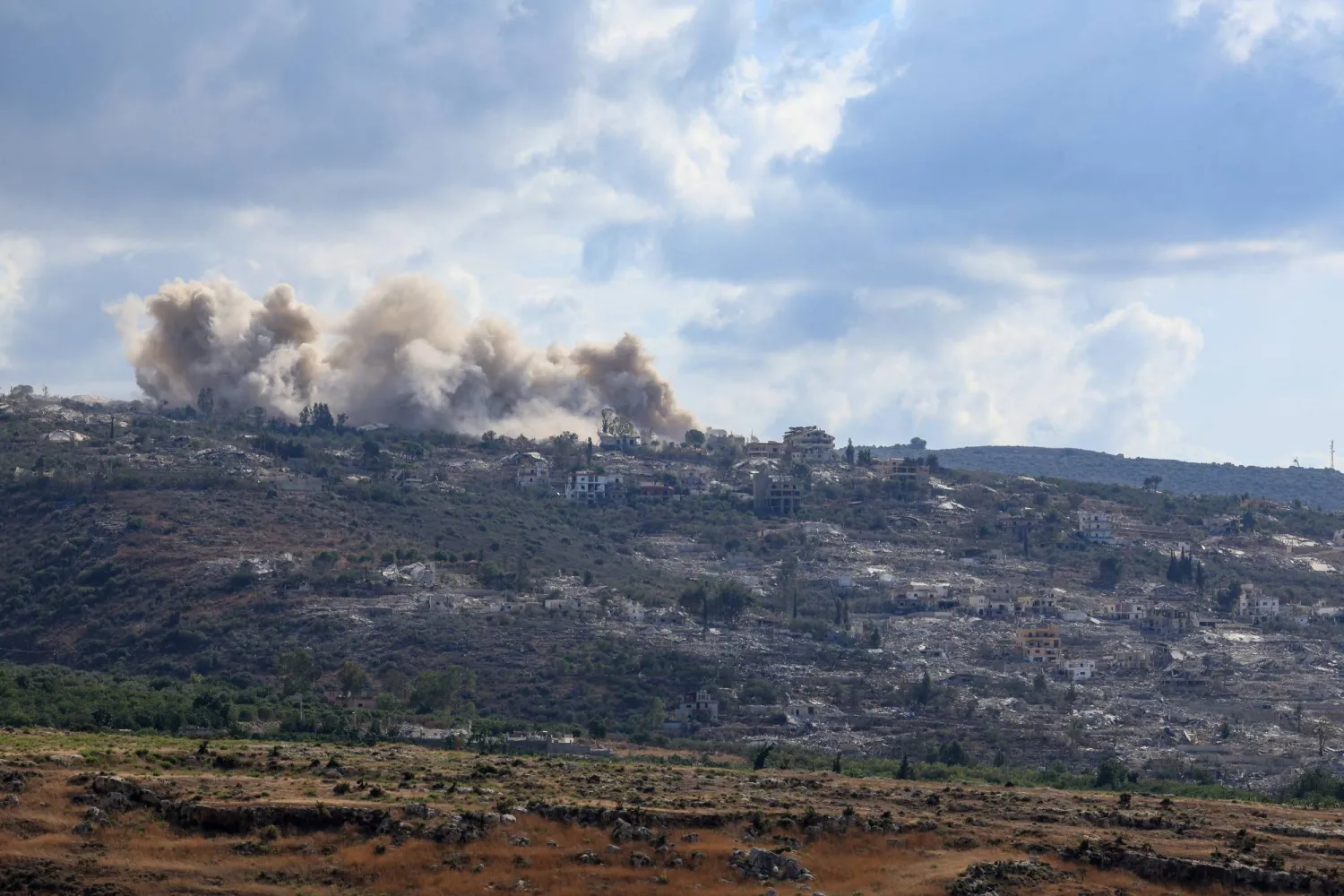
Military activity continued on 23 October 2026 as forces conducted demolitions in the villages of Kfar Tebnit and Mansouri. On the same day, an Israeli drone struck a roundabout located in Kfar Tebnit. Regarding these specific tactical events, on October 23, 2026, an Israeli drone struck a roundabout in Kfar Tebnit, and troops carried out demolitions in Kfar Tebnit and Mansouri.
Retired Brigadier General Fadi Daoud assessed the potential geographic scope of these ongoing movements. "What is clear in southern Lebanon is that the expansion could reach the Awali River. Even if it does not, forces will remain positioned on the heights overlooking the river," Fadi Daoud said. Providing further insight into the long-term territorial outlook, retired Brigadier General Fadi Daoud suggested that Israeli operations could reach the Awali River or maintain positions on heights overlooking it. This assessment notes the importance of elevated terrain in the current security framework, as the military continues to evaluate the necessary depth required to secure the border region effectively.