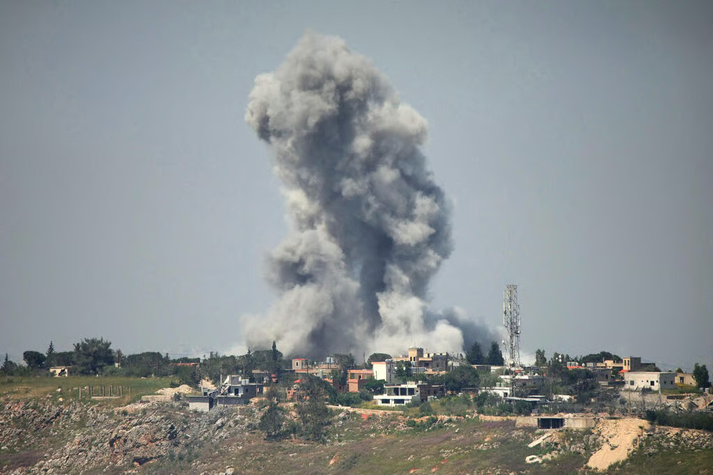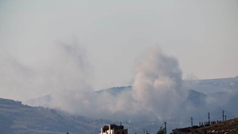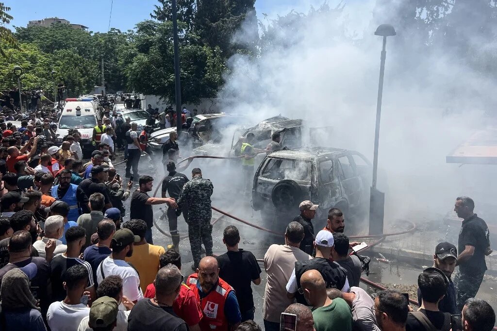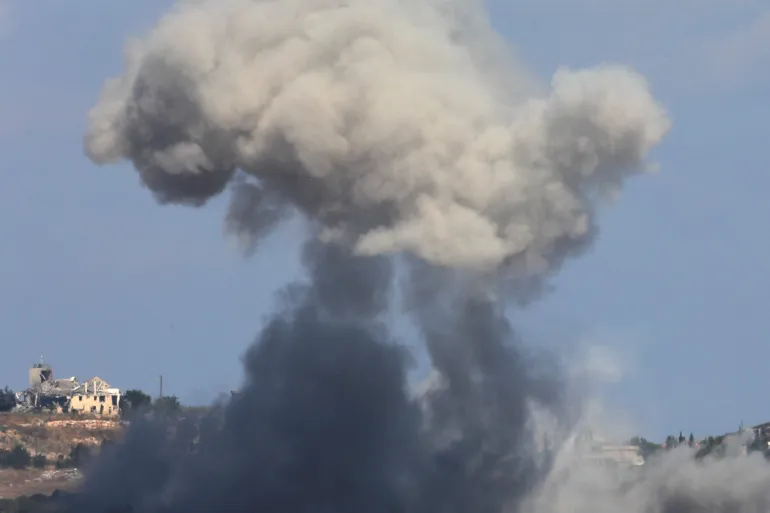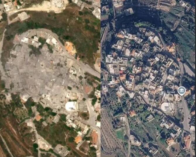
Displaced residents from villages in southern Lebanon are utilizing commercial satellite imagery to ascertain the condition of their homes. This practice has emerged as a direct response to recent conflict, which has left 85 villages inaccessible. Israel's incursions into southern Lebanon began in 2023 and intensified in March, leading to these communities being cut off from their inhabitants. Many of those displaced are now relying on remote viewing technologies to monitor their properties from afar. The imagery provides a key, albeit distant, link for residents unable to return to their towns and villages.
Accessing Homes From Afar
Some residents of southern Lebanon have begun pooling money with neighbors to purchase commercial satellite images of their properties. Hawraa, a medical professional from the town of Zebdin in the Nabatieh district, shared her experience with this practice. "When people fled their villages in haste, they left behind all their belongings and memories," Hawraa stated. "Our primary concern was escaping death and finding a safe place to shelter." She noted that searching for information about their homes became a priority after their displacement.
Hawraa explained that satellite images emerged as a viable option after residents observed them being shared on social media, detailing the extent of damage. A group of residents contributed $80 towards satellite images that cost $130, with another resident from the village covering the remaining amount. "Some contributed $5, others $10, and we managed to raise $80," Hawraa said. "However, the images cost $130, so a well-off resident of the village covered the remaining amount. We now have a means of checking on our homes."
Images are currently being requested for villages that have recently become inaccessible, including Zawtar Al-Sharqiyah, Arnoun, Kfar Tebnit, and Yohmor. These areas are part of corridors that pass through 19 towns in the Tyre district, 23 towns in Bint Jbeil, 25 in Marjeyoun, 11 in Hasbaya, 6 in Nabatieh, and one town in Rashaya, all of which are now cut off. Hawraa noted the emotional toll this situation has taken on the displaced. "It is striking that people’s peace of mind has turned into a daily source of anxiety, even at a cost many can scarcely afford," she observed. "Those whose homes survived one round of attacks now purchase updated images. This reflects a deepening sense of anxiety among people who have lost their security."
Mapping Destruction and Buffer Zones
In April, Israel established a "Yellow Line" buffer zone, which extends between 1.2 and 12 kilometers north of the Blue Line. This restricted zone spans approximately 568 square kilometers, impacting numerous communities in southern Lebanon. Satellite images taken in early May revealed the systematic destruction of urban areas within this zone and the opening of new military corridors.
Engineer Tariq Mazraani, a resident displaced from the border town of Houla, described the emotional impact of viewing such images. After a ceasefire in 2024, Mazraani used satellite imagery to find his home completely destroyed, along with another house he owned that had been reduced to ashes. "I had planned to turn the latter into a museum, as it contained artifacts, rare books and documents about the history of the village and southern Lebanon," Mazraani stated.
Mazraani noted that while not all areas have available satellite images due to restrictions on what satellites are permitted to capture, the images he can review clearly show when a structure has been completely destroyed. He recounted a particularly difficult instance when asked to analyze an image for a neighbor. "When he asked me to analyze an image of his property, I could not bring myself to tell him that the house he had spent 40 years and his life savings building has been reduced to ashes," Mazraani said. "Eventually, one his relatives conveyed the news to him, and when he called me again to confirm what he had heard, I told him the truth. He fell utterly silent, then dissolved into grief-stricken sobbing." Updated images also show Israeli tanks inside the town of Yohmor, where Israeli forces have been observed bulldozing cemeteries.
Emotional Toll and Cost
The practice of using satellite imagery has spread across southern Lebanon as Israeli evacuation orders, continued military operations, and systematic destruction have rendered dozens of villages inaccessible. Hawraa, a medical professional from Zebdin, utilized OnGeo, a satellite imagery platform, to find updated images of her village. "We began searching for any information we could find," Hawraa stated. "Satellite images became one of the few available options after we started seeing them shared on social media, showing the extent of the destruction."
The cost of obtaining a satellite image ranges between $130 and $170, with some prices climbing as high as $200. Hawraa described the collective effort to fund these images: "Some contributed $5, others $10, and we managed to raise $80. However, the images cost $130, so a well-off resident of the village covered the remaining amount. We now have a means of checking on our homes." She also noted the psychological impact of this situation. "It is striking that people’s peace of mind has turned into a daily source of anxiety, even at a cost many can scarcely afford," Hawraa observed. "Those whose homes survived one round of attacks now purchase updated images. This reflects a deepening sense of anxiety among people who have lost their security."
Diana Moukalled, a resident from Tebnine, learned of her home's destruction through paramedics who sent pictures. "My mother, my siblings and I learned of the destruction of our home in the village from the paramedics, who took pictures of the house my father built — now reduced to rubble — and sent them to us," Moukalled recounted. She described the profound grief: "We sat crying and looking at each other, unable to speak. How can a family mourn its house? How can they hold a wake for walls? How can we believe that our home, in which we lived and which lived in us, has suddenly turned to ashes?" Moukalled added, "But today, after the house was targeted, we have not succeeded in keeping that promise. The house has become rubble. And today I understand that this, for us, was more than just a house; it was our home." Obtaining an image, which previously took 24 hours, can now take up to two days.